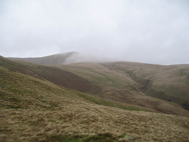
In the course of teaching and practicing bushcraft, I spend a lot of time in woodland and forests. As a Mountain Leader as well as a Bushcraft Instructor, I do like to get out onto the open hills too. There’s a sense of freedom that comes from striding along grassy ridges, being cleansed by the freshest of fresh air.
We’ve had a busy and successful year at Frontier Bushcraft and I’ve been looking forward to having a bit of a break over Christmas. That said, I can’t sit still for long. With this in mind, James Bath and I planned to do some walking in his native Cumbria. Rather than tramp the usual ground of the familiar Lake District, for a change we headed for the Howgill Fells.
The Howgills sit in a hinterland between the Lake District and Yorkshire Dales. They are big, muscular-looking hills with steep sides. Their character and setting remind me somewhat of the hills around the pass of Drumochter in Scotland, albeit the Howgills are on a slightly smaller scale.
We started off on a dour, rainy morning, with the tops of the hills shrouded in cloud. Not the most enlivening weather conditions for a relaxing day in the hills. Great for keeping navigation skills sharp though.
As we began to work our way up the gradient, however, the sky started to brighten a little, the clouds began to lift and the hills across the other side of the valley were becoming visible. We continued to climb in the hope that the tops we were tackling would be clearing too.
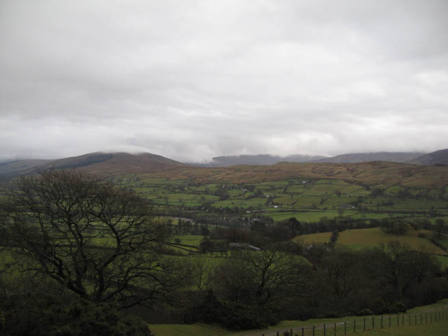
Once up high we lengthened our stride as the weather continued to alternate between clearer patches and heavy showers. In the clearer spells, our efforts of getting onto the high ground were rewarded with some dramatic views.
As we reached the summit of The Calf, the wind was biting and sleet was in the air. We didn’t linger long at the trig point before we quickly scurried to find a more sheltered spot for lunch.
When I headed north a few days ago I had brought crampons, ice axe and other winter walking equipment as we’d expected the recent winter conditions to prevail in the hills. But with the sudden mild and moist spell, the snow has all but gone. There were only a few isolated and sorry-looking patches of snow left in the whole area. While we hadn’t had fun in the snow, at least our day-packs were a bit lighter without the extra gear.
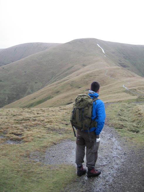
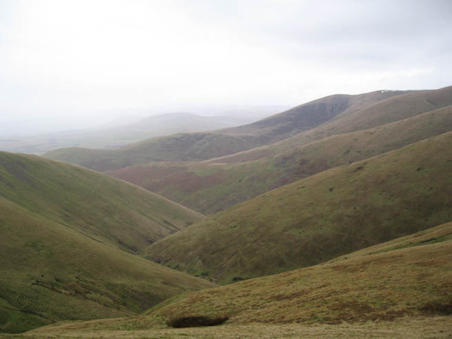
I’m fascinated by topography and the maps that represent it. As we descended, the air was clearing. Due to the steep-sides of hills we were afforded an almost aerial view of some of the terrain below.
From a particular vantage point, it was indeed fascinating to look at an area of land carved and gouged by the forces of nature and the actions of man. Such opportunities are very good for studying how the contours on your map translate to the three-dimensional shape of the terrain, observing which ground features are registered on the map, as well as improving your ability to relate scale and distance.
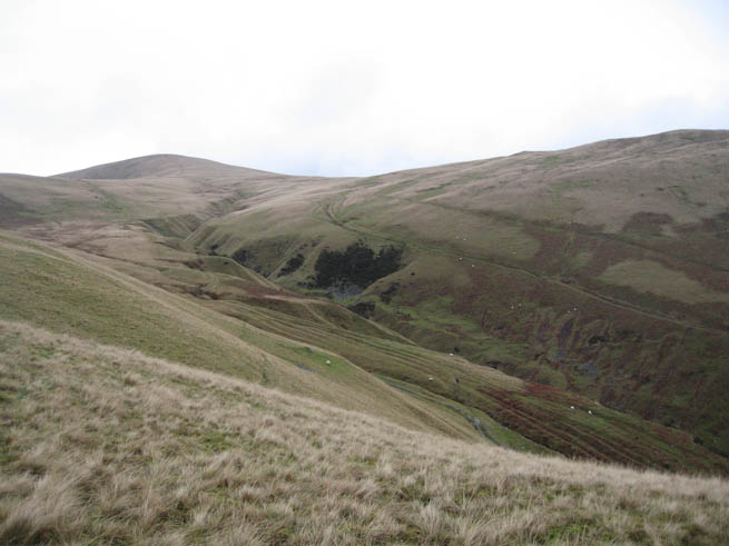
After observing the area for a little while, we descended back to one of the main trails, which took us down to Sedbergh. We’d only covered about 8 miles but this was enough for a refreshing holiday hike in the Howgills.
Latest posts by Paul Kirtley (see all)
- The Swedish Firesteel - January 5, 2023
- Kevin Callan and Paul Kirtley in Conversation - April 25, 2020
- Kevin Callan and Ray Goodwin in Conversation - April 18, 2020

Dave Howard
Hi Paul,
What incredible scenery the Howgills give, it reminds me of hikes my uncle used to take me, my brother and cousins on in Wales. Your comment about “only 8 miles” amused me, there is an 8 mile flat walk in the spring sunshine, and then there is an 8 mile trek up and down slopes that would tire an Ibex in the biting wind and lashing rain. I loved the piece and appreciated your time and effort to share it.
All the best, Dave.